
Bateshwar Temple Group
150 ptsMorena · 19 km
Around 200 small eighth-century temples rebuilt stone by stone from rubble, in Chambal ravine country, by an archaeologist who negotiated with dacoits to do it.
 © Suyash Dwivedi · CC BY-SA 4.0
Hero photograph by Suyash Dwivedi (CC BY-SA 4.0) · source. Remaining gallery slots await licensed imagery.
Morena district, Madhya Pradesh
A perfect stone circle, 170 ft across, with 64 chambers around the rim and a shrine at the centre, standing alone on a hill with nobody there. The resemblance to Sansad Bhavan is unmistakable once you have seen it.
Built around 1323 CE by the Kachchhapaghata king Devapala, the temple is an Ekattarso Mahadeva — 64 yogini chambers ringing an open court with a central Shiva shrine. Only a handful of yogini temples survive in India and this is the best preserved. The Parliament connection is persistent and unproven: Herbert Baker never wrote it down, but the plan similarity is striking and the ASI signage at the site repeats the claim. The temple also has a sophisticated rainwater system, with the roof of each cell draining to an underground reservoir. It has survived several major earthquakes intact, which has drawn structural engineers here to study the foundations.
6 things · 4 hr 50 min to do all of them
Single day · 8 hr 40 min of planned activity
Drive from Gwalior
1 hr 15 min
40 km north on NH-44 then district road
Mitaoli — climb and circle the yogini temple
1 hr 30 min
Drive to Padavali
40 min
18 km
Padavali fort temple
1 hr
Bateshwar temple group
2 hrs
3 km from Padavali
Lunch in Morena
1 hr
Return to Gwalior
1 hr 15 min
The shaded ring is the check-in geofence — 300 m around the site. Your GPS has to fall inside it for a check-in to count.
26.1494, 78.1967 · Open turn-by-turn in Google Maps
40 km north of Gwalior. Take NH-44 towards Morena, turn off at Malanpur for Mitaoli village. Gwalior airport and railway station are the practical bases. No public transport to the site.
Last mile: The last 6 km is a narrow village road, tarred but rough. The car park is at the hill base; the climb is about 100 steps.
About 100 steps up the hill, unshaded, no handrail in places.
4.8from 96 explorers
Only explorers with a verified check-in here can leave a review.
Divya Pandey
@shikhara · 11 Jul 2026
Worth the detour, genuinely. The road in is rough for the last stretch and I would not take a low-clearance car after rain, but the site itself is in better condition than I expected.
Tip: Fill up fuel before you turn off the highway — there is nothing after that.
31 found this helpful
Vikram Tomar
@chambal_kid · 31 May 2026
Facilities are basically non-existent, which the listing is honest about. Carry water and use the toilet before you leave the last town.
Tip: No water, no toilets, no signal. Plan accordingly.
19 found this helpful
Ordered by tier before distance — the least-visited neighbours come first. This list is the redistribution engine.
Morena · 19 km
Around 200 small eighth-century temples rebuilt stone by stone from rubble, in Chambal ravine country, by an archaeologist who negotiated with dacoits to do it.
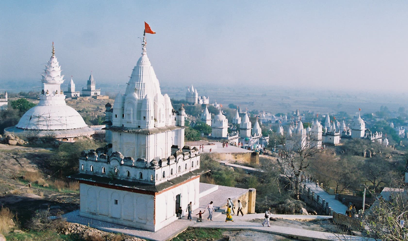
Datia · 54 km
Seventy-seven white Jain temples on a single hill, climbed barefoot, in near silence.

Gwalior · 9.4 km
A hill fort Babur called the pearl among Indian fortresses — three kilometres of sandstone wall, a tiled palace, and the second-oldest written zero in the world.

Niwari · 99 km
A Bundela capital frozen in the sixteenth century — palaces, riverside cenotaphs and a temple where Rama is worshipped as a reigning king.