
Patalkot
150 ptsChhindwara · 29 km
A horseshoe valley sunk 350 m into the Satpura plateau, home to Bharia and Gond villages that had almost no outside contact until the 1990s.
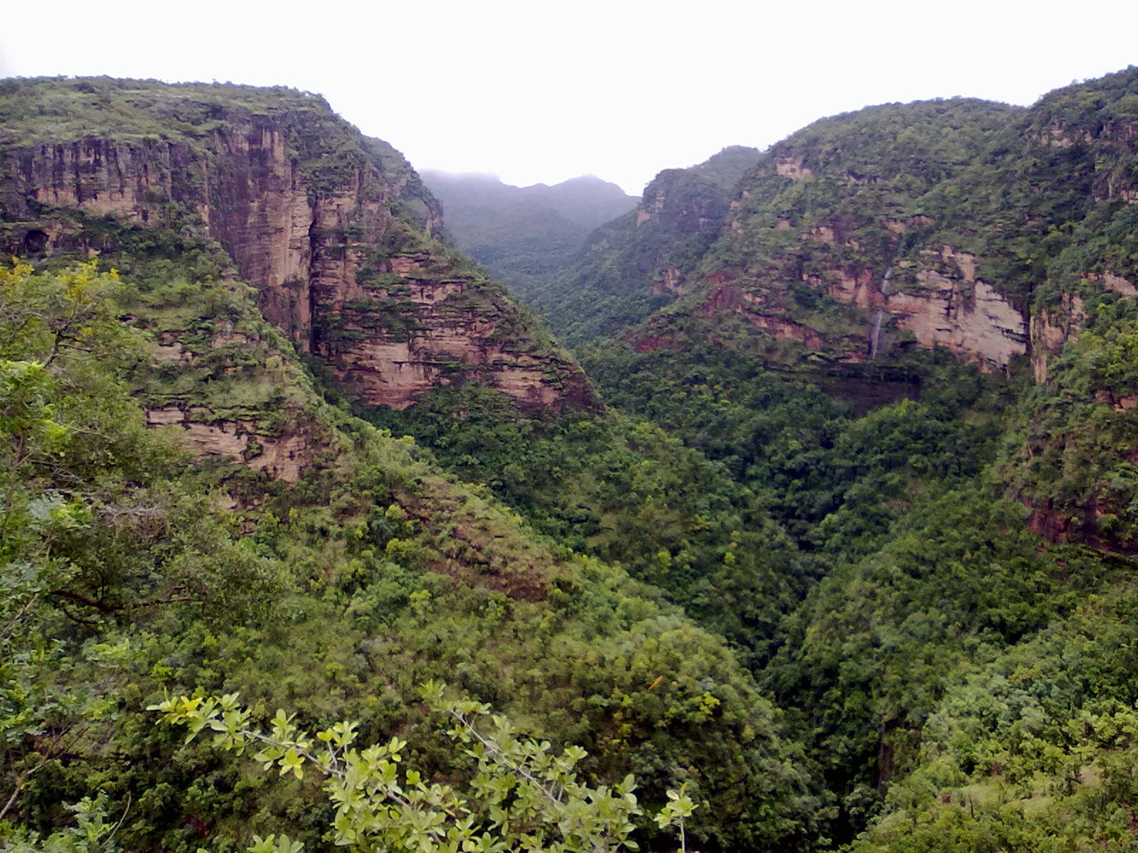 © Abhayashok · CC BY-SA 3.0
Hero photograph by Abhayashok (CC BY-SA 3.0) · source. Remaining gallery slots await licensed imagery.
Narmadapuram district, Madhya Pradesh
Waterfalls, cave paintings up to 10,000 years old, and the highest point in the state, all within a plateau you can cover on foot and by jeep. It is also the coolest place in Madhya Pradesh in May.
Captain James Forsyth of the Bengal Staff Corps came onto the plateau in 1857 and the British promptly made it the summer capital of the Central Provinces. The name comes from the five caves — panch marhi — attributed to the Pandavas, though they are more likely Buddhist and from around the fifth century. The plateau holds a remarkable concentration of rock art in its shelters, some of it Mesolithic. The whole area was declared the Pachmarhi Biosphere Reserve in 1999, linking it with Satpura and Bori.
7 things · 10 hr 45 min to do all of them
2 days · 16 hr 45 min of planned activity
Handi Khoh ravine viewpoint
45 min
Jata Shankar cave
1 hr
Pandav Caves
45 min
Lunch in the bazaar
1 hr 15 min
Bee Falls — descend and swim
2 hr 30 min
Dhoopgarh for sunset
1 hr 30 min
Arrive by 5 pm for a place on the rocks
Apsara Vihar and the walk to Rajat Prapat
3 hrs
Rock shelter paintings with a forest guide
2 hrs
Chauragarh trek, or Satpura National Park at Madhai
4 hrs
Madhai gate is 60 km north
The shaded ring is the check-in geofence — 3000 m around the site. Your GPS has to fall inside it for a check-in to count.
22.4676, 78.4336 · Open turn-by-turn in Google Maps
Pipariya railway station is 47 km away on the Itarsi–Jabalpur line, about 90 minutes by road up the ghat. Bhopal is 210 km, roughly 5 hours. Buses run from Pipariya and Bhopal.
Last mile: Private cars are not allowed to most sights — you hire a registered gypsy with a permit in town. Budget ₹2,000–2,500 for a full day.
Most sights involve steep descents into ravines — 100 to 300 steps is typical.
4.5from 3,120 explorers
Only explorers with a verified check-in here can leave a review.
Samar Uike
@satpura_sam · 25 Jul 2026
The guide was excellent and cost less than a coffee in a city. Do not skip it — I walked round once alone first and missed most of what matters.
Tip: Hire the local guide. ₹600 well spent.
38 found this helpful
Devendra Singh
@fortfinder · 4 Jul 2026
Second visit, this time at sunset instead of midday, and it is a completely different experience. The light does most of the work here.
Tip: Come in the last ninety minutes of daylight.
24 found this helpful
Latika Jain
@saree_and_stone · 27 Jun 2026
Worth the detour, genuinely. The road in is rough for the last stretch and I would not take a low-clearance car after rain, but the site itself is in better condition than I expected.
Tip: Fill up fuel before you turn off the highway — there is nothing after that.
19 found this helpful
Meera Nair
@thelongtail · 9 May 2026
Carried a torch on the advice here and it made the difference. Half the interior is pitch dark and phone lights are not enough.
Tip: Bring an actual torch, not a phone.
26 found this helpful
Tanvi Rathore
@kuno_watcher · 28 Feb 2026
Worth the detour, genuinely. The road in is rough for the last stretch and I would not take a low-clearance car after rain, but the site itself is in better condition than I expected.
Tip: Fill up fuel before you turn off the highway — there is nothing after that.
3 found this helpful
Ordered by tier before distance — the least-visited neighbours come first. This list is the redistribution engine.
Chhindwara · 29 km
A horseshoe valley sunk 350 m into the Satpura plateau, home to Bharia and Gond villages that had almost no outside contact until the 1990s.

Narmadapuram · 43 km
The only tiger reserve in India where you can legally walk in the core zone — on foot, with an armed guard, at dawn.

Raisen · 99 km
A UNESCO site of over 750 sandstone shelters holding painting that runs unbroken from the Mesolithic to the medieval period.