
Narmadapuram · 69 km
The only tiger reserve in India where you can legally walk in the core zone — on foot, with an armed guard, at dawn.
 © Kaushlendrapathe · CC0
Hero photograph by Kaushlendrapathe (CC0) · source. Remaining gallery slots await licensed imagery.
Chhindwara district, Madhya Pradesh
You descend into a valley the sun reaches for only a few hours a day, through some of the densest forest in central India, to villages with a herbal medicine tradition that ethnobotanists have been documenting for thirty years.
Patalkot means the valley of the underworld, and the name is earned: the horseshoe gorge is about 350 m deep and 79 sq km in area, and the villages at the bottom were effectively cut off until roads and electricity arrived in the 1990s. Twelve Bharia and Gond hamlets live down there. The Bharia herbal tradition is substantial and well documented — Deepak Acharya and others have catalogued hundreds of plant uses from these villages, and some of it has gone into pharmacological screening. The valley has its own microclimate, with mist that sits below the rim well into the morning. It is now a protected area and community-managed tourism is the model.
6 things · 11 hr 45 min to do all of them
Single day · 12 hrs of planned activity
Drive from Chhindwara to the Kareyam rim
1 hr 30 min
78 km via Tamia
Rim viewpoint over the mist-filled valley
45 min
Descend to the valley floor with a village guide
2 hr 30 min
Bharia herbal walk and village visit
2 hrs
Doodhi river and lunch at the bottom
1 hr 15 min
Climb back to the rim
3 hrs
Drive to Tamia for the escarpment sunset
1 hr
The shaded ring is the check-in geofence — 3000 m around the site. Your GPS has to fall inside it for a check-in to count.
22.2833, 78.6333 · Open turn-by-turn in Google Maps
78 km from Chhindwara via Tamia, about 2 hours. Chhindwara has a railway station; Nagpur airport is 190 km. No public transport to the rim.
Last mile: Road to the Kareyam and Chimtipur rim points is tarred but narrow. Everything beyond that is on foot.
A steep 3 km descent and a harder climb back. Not suitable for anyone with knee or heart conditions.
4.6from 130 explorers
Only explorers with a verified check-in here can leave a review.
Aarav Deshmukh
@aarav_rides · 11 Jun 2026
Went on a Tuesday morning and had the place almost to myself. The caretaker walked me round for twenty minutes without being asked and knew far more than the signage does. Give yourself longer than the app suggests — I stayed nearly three hours.
Tip: Weekday mornings are empty. Weekends are a different place entirely.
45 found this helpful
Fatima Sheikh
@stepwellhunter · 1 Jun 2026
Four hours from Bhopal each way for this and I would do it again. Almost nobody here on a Saturday, which still surprises me.
Tip: Start at 5 am if you are doing it as a day trip.
38 found this helpful
Ordered by tier before distance — the least-visited neighbours come first. This list is the redistribution engine.
Narmadapuram · 69 km
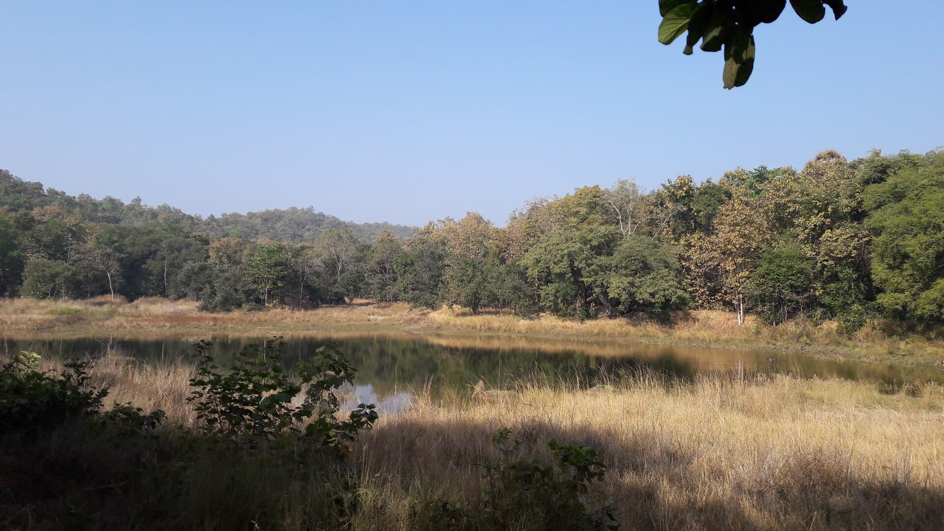
The only tiger reserve in India where you can legally walk in the core zone — on foot, with an armed guard, at dawn.
Seoni · 95 km
The Seoni forest of Kipling's Jungle Book, with the highest prey density of any central Indian reserve and none of Kanha's crowds.
Narmadapuram · 29 km
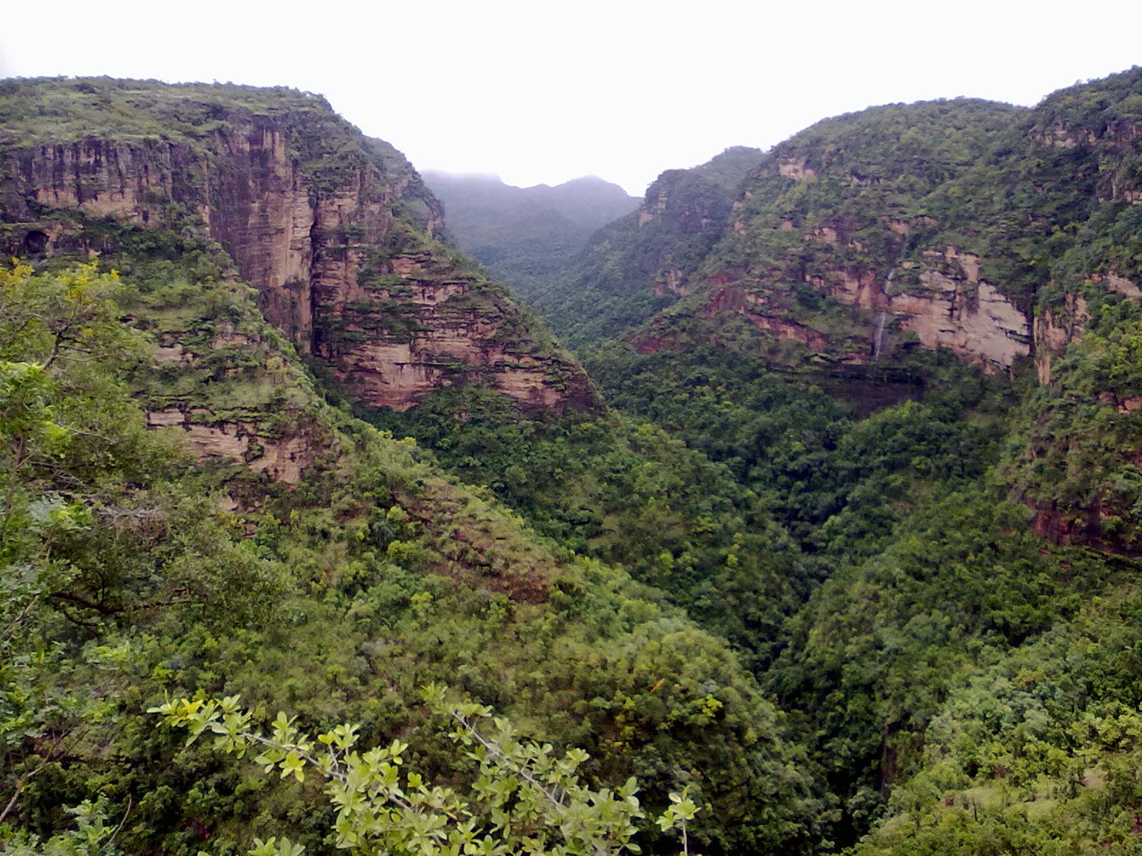
Madhya Pradesh's only hill station — a Satpura plateau of waterfalls, ravines and rock-shelter paintings, at the centre of a biosphere reserve.